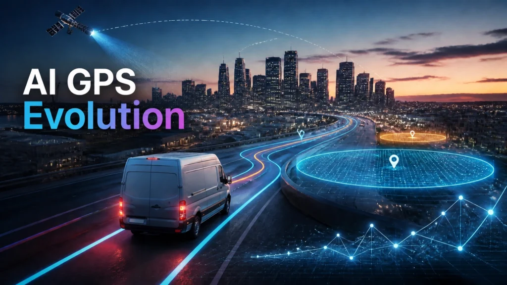
Standard GPS technology provides location coordinates. AI GPS provides actionable intelligence. Traditional logistics models relied on reactive monitoring. Fleet managers viewed dots on a map after events occurred. Modern delivery strategies require predictive control. Artificial intelligence GPS converts raw satellite data into continuous data streams for automated decision-making.
Smart geofencing is the primary mechanism for this evolution. It transforms geographical coordinates into business events. When a vehicle crosses a virtual boundary, the system executes a predefined rule. This process eliminates manual status updates and reduces operational latency.
From Reactive Tracking to AI GPS Intelligence
Traditional GPS functions are limited. They record location, log history, and provide navigation. These functions are reactive. Decisions regarding dispatching and routing remain dependent on human intervention. This creates bottlenecks in high-volume environments.
Is GPS artificial intelligence? By itself, GPS is a hardware-based positioning system. It becomes AI GPS when layered with machine learning algorithms and real-time processing engines. AI-enhanced GPS turns tracking into a predictive control system.
- Data Streaming: AI GPS treats location data as a continuous stream rather than isolated pings.
- Event Conversion: Geofences translate movement into business logic (e.g., "Left Depot," "Entered High-Risk Zone").
- Predictive Analysis: Systems analyze historical streams to forecast arrival times and identify route anomalies.
- Automation Triggers: Crossing a geofence initiates workflows like invoice generation or customer SMS alerts.
Automating these processes allows logistics providers to scale without increasing headcount. It shifts the focus from finding vehicles to managing exceptions.
Technical Mechanics of Smart Geofencing
Smart geofencing relies on three core components: virtual boundaries, GPS-enabled hardware, and rule-based logic.
1. Defining Virtual Boundaries
Boundaries are not limited to circles. Advanced platforms use polygon and corridor geofencing.
- Polygon Geofencing: Precise shapes that match the exact footprint of a warehouse or a customer’s parking lot.
- Corridor Geofencing: Boundaries set along a specific route. If a driver deviates from the designated path, the system flags a violation.
- Time-Based Geofencing: Active only during specific windows, such as after-hours security zones.
2. Device Integration
Trackers and smartphones stream coordinates to the central platform. Each update is checked against active geofence parameters. High-frequency pings ensure accuracy within meters. This is critical for urban environments where delivery points are clustered closely.
3. Workflow Execution
An "Enter" or "Exit" event triggers the system. The platform checks the event against current business rules. If a driver enters a customer zone, the system updates the status to "Arrived." This data feeds directly into the fleet management software for real-time reporting.

Redefining Delivery Strategies with AI GPS
AI GPS and smart geofencing redefine how goods move through the supply chain. Strategies are no longer static. They are fluid and data-driven.
Dynamic Dispatching and Demand Hotspots
AI models identify spatial-temporal patterns. They recognize where orders spike at specific times.
- Auto-Assignment: Orders are assigned to the closest driver based on geofence proximity and current workload.
- Proximity Ranking: The system prioritizes drivers already heading toward a high-demand zone.
- Capacity Balancing: AI prevents over-utilization of specific assets by distributing tasks based on vehicle type and geofence density.
This reduces idle time and maximizes asset utilization across the entire network.
Continuous Route Optimization
Route planning was previously a daily task. AI GPS makes it a continuous process.
- Zone Awareness: Geofences represent traffic zones or construction areas.
- Dynamic Re-routing: If a vehicle enters a "high-delay" geofence, the AI engine recalculates the route.
- Contextual Weighting: The system weighs delivery windows, driver breaks, and vehicle fuel levels against real-time traffic data.
For more information on optimization, view the GPS tracking system for vehicles section.
Last-Mile Automation
The last mile is the most expensive part of delivery. Automation reduces these costs.
- Auto Check-in: Timestamps are recorded automatically upon entry to the depot or customer site.
- Dynamic ETAs: AI combines GPS position with historical service times to provide accurate arrival windows.
- Customer Transparency: Customers receive "Driver is nearby" notifications when the vehicle crosses a 1km proximity geofence.
Security and Policy Enforcement
Smart geofencing provides a robust security layer for high-value logistics.
- Theft Prevention: If a vehicle exits a secure yard geofence during unauthorized hours, security alerts trigger immediately.
- Anomaly Detection: AI identifies unusual stops or suspicious detours. Repeated stops in high-risk zones flag the asset for manual review.
- Compliance: Low-emission zones or restricted roads are geofenced to ensure drivers adhere to local regulations.
- Asset Protection: Geofencing non-motorized assets like trailers or containers ensures they remain within authorized zones.
If a violation occurs, the system logs the incident. This data is essential for insurance and regulatory reporting.

Implementation Roadmap for Smart Geofencing
Implementing AI GPS requires a structured approach. Focus on technical integration and data accuracy.
Step 1: Objective Definition
Identify primary KPIs. Common goals include reducing cost per delivery, improving SLA compliance, or minimizing theft. These objectives dictate geofence placement and rule complexity.
Step 2: Data Foundation
Establish a reliable data stream. Deploy GPS hardware or mobile applications. Ensure the central platform supports geofencing APIs and real-time processing. High latency will cause "Enter/Exit" events to lag, rendering automations ineffective.
Step 3: Layered Geofence Design
Design geofences based on operational logic.
- Depots: Large polygons for arrival and departure logging.
- Service Zones: Regional boundaries for territory management.
- Customer Points: Micro-geofences for accurate "Task Complete" timestamps.
- Restricted Areas: Negative geofences to avoid high-risk or prohibited routes.
Step 4: Logic Integration
Connect geofence events to business applications. Integrate with Order Management Systems (OMS) and Customer Relationship Management (CRM) tools.
- If [Exit Depot] Then [Send Customer Notification].
- If [Enter High-Traffic Zone] Then [Recalculate ETA].
- If [Unplanned Stop > 10 Mins] Then [Alert Dispatcher].
Step 5: AI Loop Refinement
Use historical data to refine geofences. If a geofence consistently triggers false alerts due to poor GPS reception or overlapping boundaries, adjust the geometry. AI models should learn from dwell times within specific zones to improve future scheduling.
Strategic Benefits of AI GPS
Organizations adopting AI GPS and smart geofencing achieve significant operational advantages.
- Increased Throughput: Faster turnarounds at depots through automated check-ins.
- Reduced Communication Overhead: Customers and dispatchers are informed via automated events, reducing phone calls.
- Enhanced Driver Productivity: Routes are optimized continuously, allowing for more stops per shift.
- Data Accuracy: Automated timestamps eliminate human error in logbooks and billing.
The transition from "track and trace" to "predict and automate" is the core of modern logistics orchestration. Fleetroot provides the infrastructure to manage these complex workflows at scale.
Explore the Fleetroot sitemap for detailed product specifications and implementation guides.
Technical Conclusion
AI GPS is not just a tracking tool. It is an automation engine. Smart geofencing turns location data into a strategic asset. By defining virtual boundaries and applying AI-driven logic, logistics providers minimize manual intervention and maximize efficiency. Transitioning to this model is necessary for maintaining a competitive edge in the evolving delivery landscape.
Monitor system performance regularly. Update geofence parameters to reflect changes in urban infrastructure. Ensure all API endpoints are secure. Use Fleetroot to centralize these operations and achieve end-to-end visibility. For further reading, check the fleet management software demo.